

RENEWABLE ENERGY SITE SELECTION
Our team of experts is qualified to assist you in navigating the regulations and requirements involved in selecting and developing renewable energy sites. The site selection process involves carefully evaluating various factors, including resource availability, environmental considerations, and compatibility with land use. We specialize in providing expert guidance and support for selecting renewable energy sites and helping clients identify optimal project locations.
Our team guides clients through the permitting and compliance process, including preparing and submitting permit applications, conducting environmental impact assessments, and addressing concerns raised by regulatory authorities.
By providing a service encompassing technical expertise, regulatory knowledge, and stakeholder engagement, we empower our clients to identify and develop renewable energy sites that are both sustainable and compliant with the applicable regulations. We aim to empower clients to identify and develop renewable energy sites that comply with laws and meet their goals.
Innovative Technologies - GIS & Drone Services
leak detection & Repair (ldar)
Reducing harmful emissions through Leak Detection and Repair (LDAR) services can minimize product loss, increase safety for facility infrastructure and operators, decrease toxic air pollutants in surrounding communities, reduce emission fees, and avoid any enforcement actions from regulatory agencies. We specialize in providing comprehensive LDAR services that help our clients detect and repair leaks efficiently and effectively.
geographic information system (gis) services
Geographic Information System (GIS) technology has revolutionized how we understand and analyze geospatial data, providing invaluable insights for decision- making and planning processes. We offer comprehensive GIS services that harness the power of geospatial data to assist clients across diverse industries.
Because of our expertise in GIS, we enable organizations to make informed decisions to optimize their operations by unlocking the potential of location-based data. We combine cutting-edge technology, advanced analytical tools, and a deep understanding of geospatial data to deliver tailored GIS solutions that meet the unique needs of our clients.
From asset management to economic development and sustainable growth planning, we can create GIS tools that help communities successfully move forward. Our GIS tools and drones can streamline permitting, planning, and maintenance processes.
By using GIS, we can help our clients develop a more comprehensive understanding of their project site and identify potential risks and opportunities. From data collection and database development to geospatial analysis and custom map creation, we offer end-to-end GIS solutions that provide actionable intelligence and drive informed decision-making.
In-house computer mapping and design capabilities and equipment include:
AutoCAD
ArcGIS 10.8
ArcGIS Pro 3.0.1
Survey 123
Trimble TDC100
Trimble R2 with RTX
Mavic Pro 2
Collector for ArcGIS
ExpertGPS
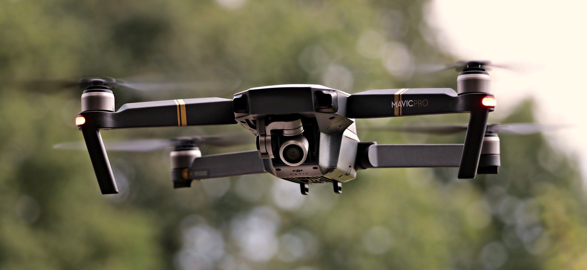
drone services
Drone technology has revolutionized various industries, offering unparalleled capabilities and opportunities for data collection, aerial imaging, and remote sensing. We provide comprehensive drone services that leverage the power of unmanned aerial vehicles (UAVs) to assist our clients in a wide range of applications. Our experienced drone pilots and data analysts are equipped with state-of-the-art drone technology to deliver accurate, efficient, and cost-effective solutions.
How Might Drones Be Used Across the Project Lifecycle?
Aerial Surveys & Inspections: Aerial surveys and data collation can quickly create models that allow teams to better understand project feasibility and whether design solutions are applicable. Such models are also useful in stakeholder and vendor briefings, showing what finished projects will look like.
Mapping & 3D Modeling: Our drone services generate highly precise maps and 3D models. These accurate and up-to-date representations provide valuable spatial data for various applications, including land surveying, urban planning, and environmental monitoring.
Design: Designs can be overlaid and are informed by real-world data and on-site conditions. Where questions or doubts are present, adding greater fidelity to survey data or expanding the scope of previous datasets is easy, especially in difficult to access sites.
On-Site Monitoring: Once a project is underway, drones can be used for many beneficial applications, including tracking progress, keeping tabs on materials, improving visibility, and monitoring the safety of workers. Drone footage also provides a useful audit trail should problems arise on the work site.
Emergency Response & Disaster Management: Drones are critical in emergency response and disaster management. Equipped with real-time video transmission and high-resolution cameras, our drones provide valuable information to assist with damage assessments. Drones assist emergency responders and decision-makers in assessing risks, coordinating efforts, and optimizing response strategies.